Do you use a white label GPS tracking software but do not wish to spend all your energy tracking vehicles in real-time? The simple solution is to use a vehicle tracking software such as TrackoBit that allows you to define geofences and points of interest to make tracking easier.
Do you want to know how you can track vehicles effortlessly without continuously looking at your fleet management software application? Continue reading!

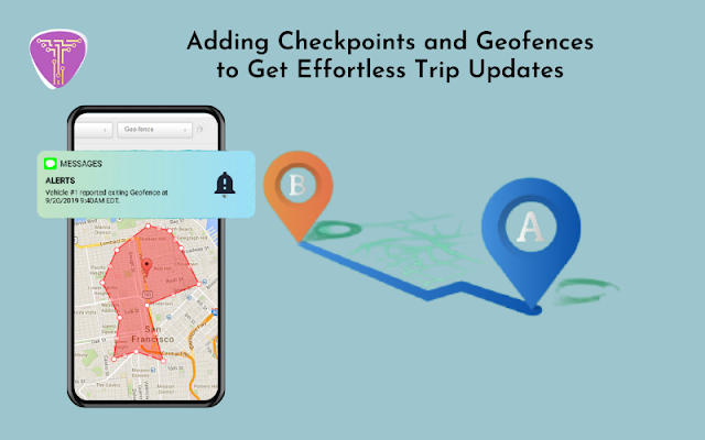
Adding Checkpoints and Geofences to Get Effortless Trip Updates
What Are POI and Geofences?
Suppose a hundred of your vehicles are running on a particular track. You might not want to check each vehicle or might only be looking for a rough idea of your vehicle’s position, right? In such a situation, you can use Points of Interest or Geofences! But, what are they?
Point of Interest: POI can be any specific location that you need to mark on the route map. You can set an alert radius and whenever a vehicle reaches 100 to 10,000 meters around that POI, you’ll receive an alert.
Geofences: You can mark any area and bound it with a geofence. This way, whenever your vehicles enter or exit the geofenced area, you will receive an alert.
What Can You Use POIs and Geofences for?
Let us look at some ways marking POIs and geofences can make live tracking with a white label GPS tracking software easier for you:
Constant tracking: Even if you get preoccupied with other things, you will get constant alerts about specific vehicle movements.
Create Forbidden Area: Geofences can be used to create forbidden areas where a driver is not supposed to go due to safety or productivity reasons. Therefore, every time your vehicle slips into a forbidden region, you can alert the driver to change the route immediately.
Easy Search: Checking vehicle movement is easy with POIs because you get to track which vehicles are close to certain POIs.
ETA: With the help of multiple geofences and POIs, transporters can know how far a vehicle is from a location, facilitating smoother and more accurate ETAs.
Automatic Proof of Delivery: You can create a geofence or POI at the receiver’s location. When you receive an entry alert, you can mention to the receiver that their package or consignment is ready. However, you can also check the duration between the geofence entry and exit time gap to determine whether a delivery was made.
POI and Geofence Reports: POI and Geofence reports can be used to check how many times a vehicle arrived, departed, and stopped at the marked area. This will help you get a better idea of vehicle movement and driver behavior.
Geofences and POIs make tracking so much easier for any fleet manager, So what are you waiting for? Get your subscription to a feature-laden GPS tracking system now!
Comments
Post a Comment